Photographs
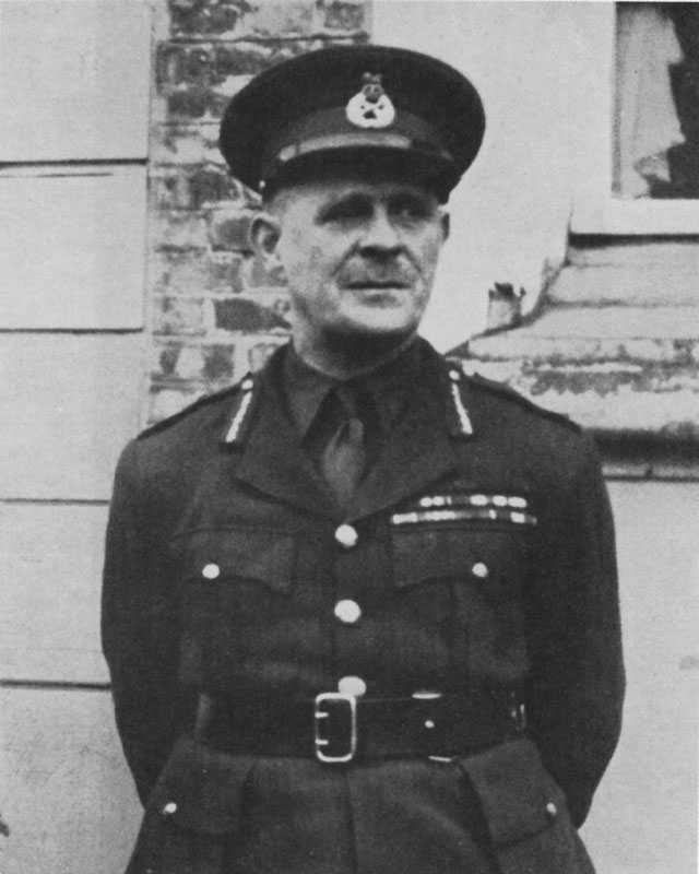
General The Viscount Gort, Commander-in-Chief of the British Expeditionary Force
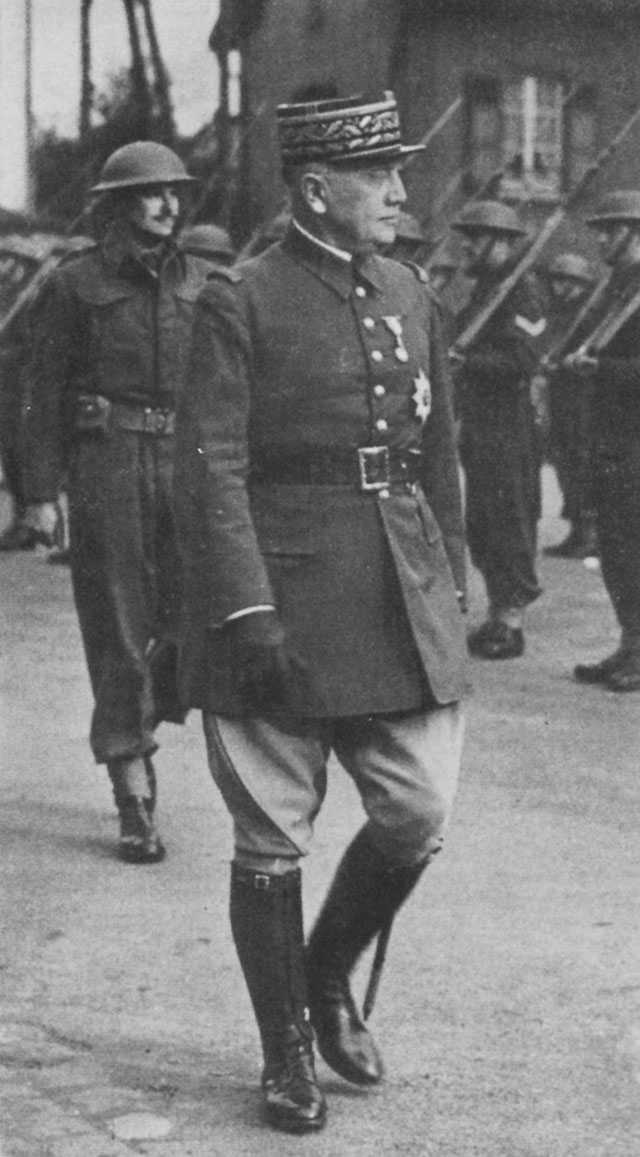
General Georges, Commanding the French North-East Theatre of Operations
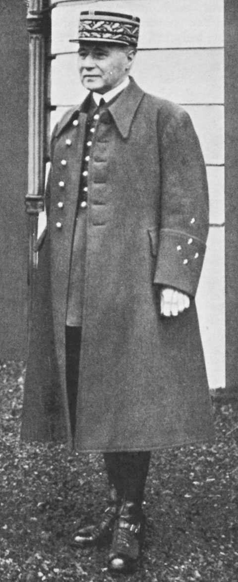
General Gamelin, Commander-in-Chief of the French Army
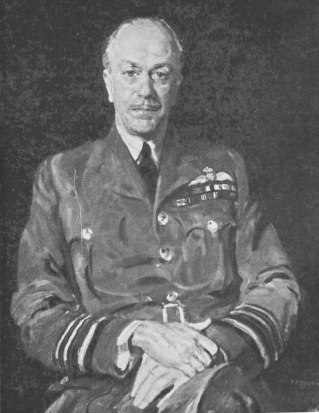
Air Marshal A. S. Barratt, Air Officer Commanding-in-Chief, British Air Forces in France

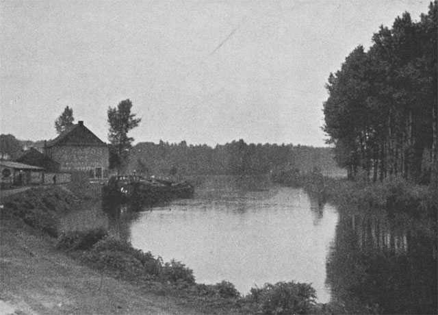
River Dyle, about five miles south of Louvain, looking north-east towards high ground occupied by the enemy
The Dendre about two miles north of Ath, looking south
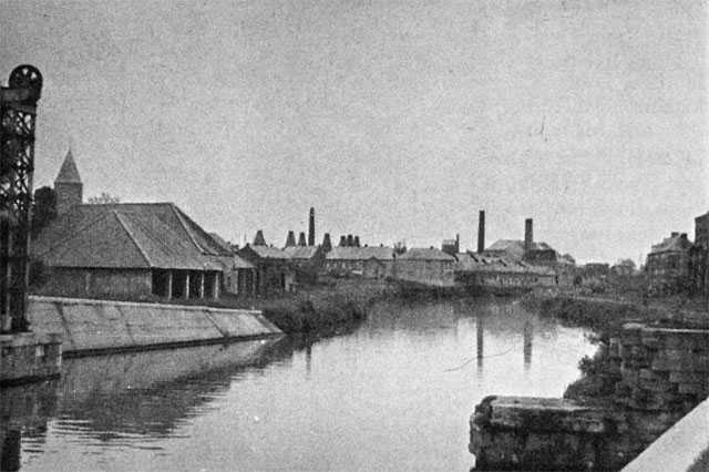
The Escaut, between Bruyelle and Tournai, looking north
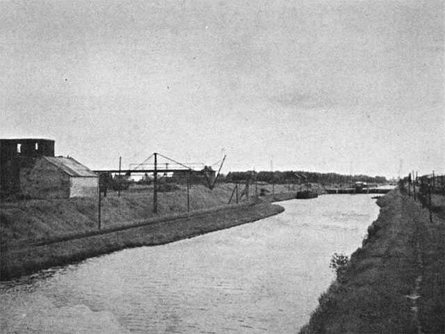
The Canal Line near Givenchy, looking east
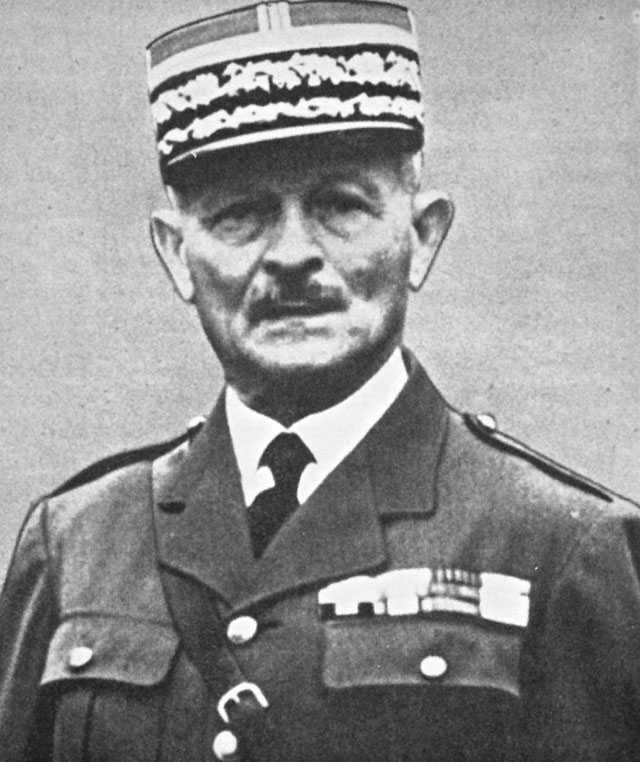
General Maxime Weygand. Succeeded General Gamelin as Commander-in-Chief of the French Army on the 20th of May, 1940
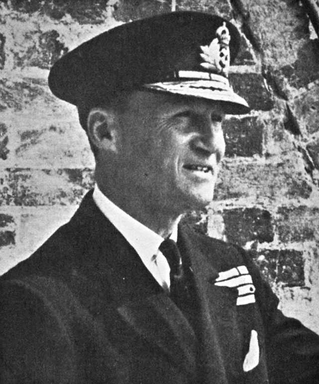
Vice-Admiral Sir Bertram H. Ramsay, Flag Officer Commanding, Dover
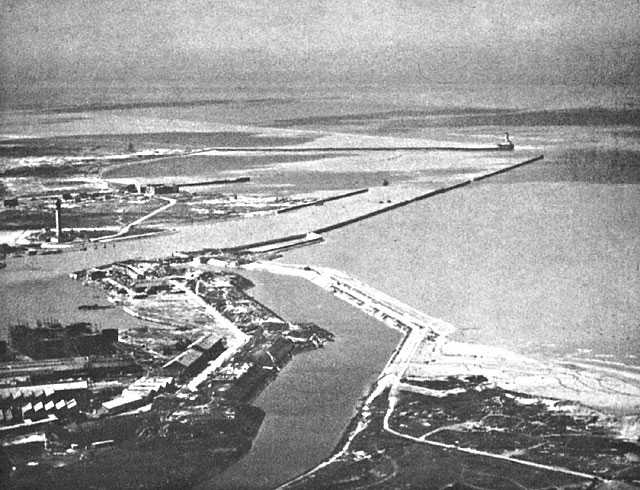
Dunkirk
This photograph, taken when the port was in German occupation, shows the outer harbour, which was used by the Royal Navy during the evacuation of the British Expeditionary Force in 1940. In the right foreground is a short length of the beaches, which stretched along the coast to La Panne and beyond and from which some 96,000 men were brought to England. A narrow causeway connects the beach with the long East Mole. This mole protects the entrance-channel which leads past the lighthouse to the main harbour and docks of the port. From this mole over 206,000 men were brought home. The picture shows how cruelly exposed the ships were to enemy bombers and shore-based guns, as they passed through the narrow channel, manoeuvred in the outer harbour or lay alongside the mole while men embarked. On page 222 there is a sketch plan of the outer harbour.

St Valery en Caux: Cliffs to the east, commanding the harbour
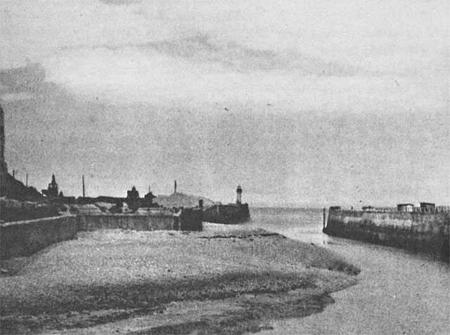
St Valery en Caux: The narrow entrance with cliffs to the west just visible
Colonel-General von Brauchitsch
Colonel-General von Bock

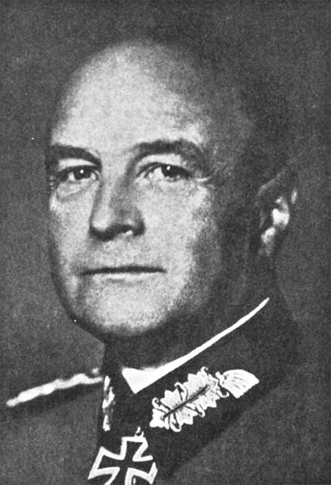
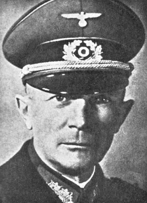
Colonel-General von Rundstedt