Maps
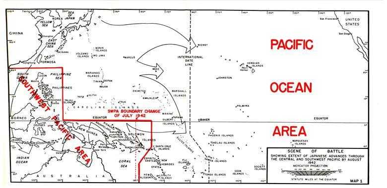
Map 1. Scene of Battle

Map 5: Landing on Wake Island, 23 December 1941

Map 7: Japanese Landing on Bataan
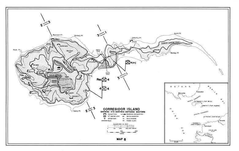
Map 8: Corregidor with Inset Showing Manila Bay
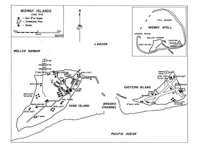
Map 10: Midway Islands, June 1942
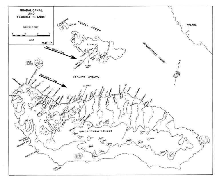
Map 13: Guadalcanal and Florida Islands
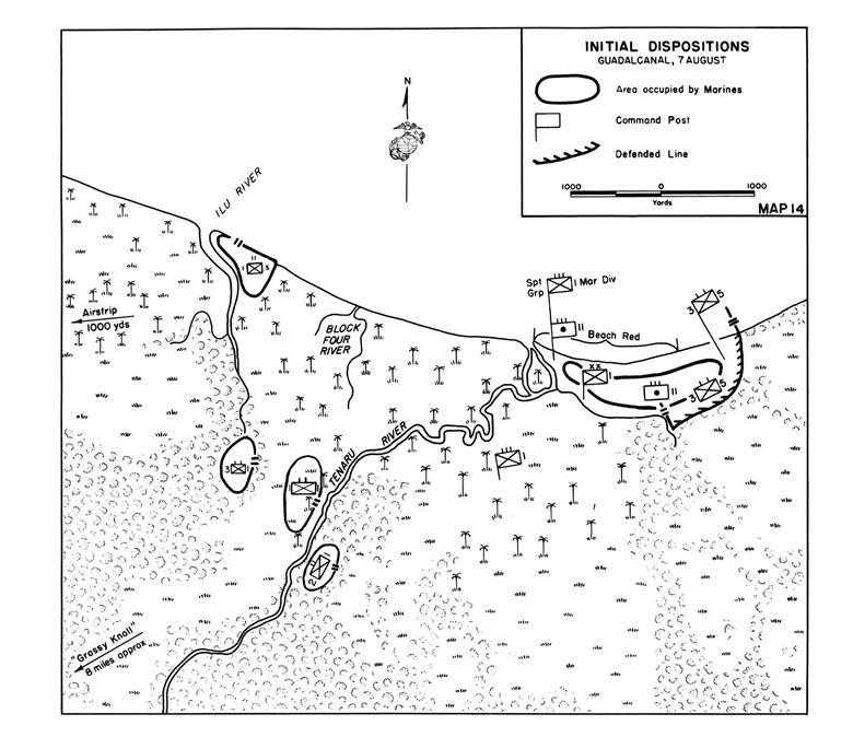
Map 14: Initial Dispositions, 7 August 1942
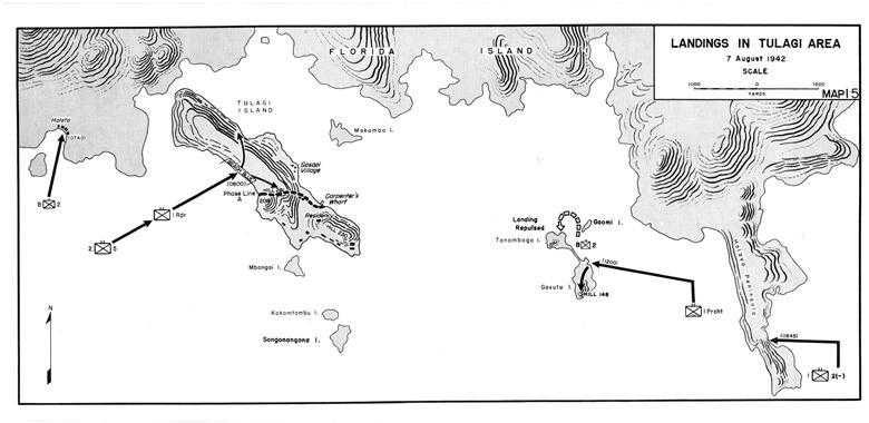
Map 15: Landings in Tulagi Area, 7 August 1942
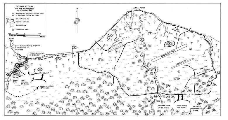
Map 23: October Attacks on the Perimeter
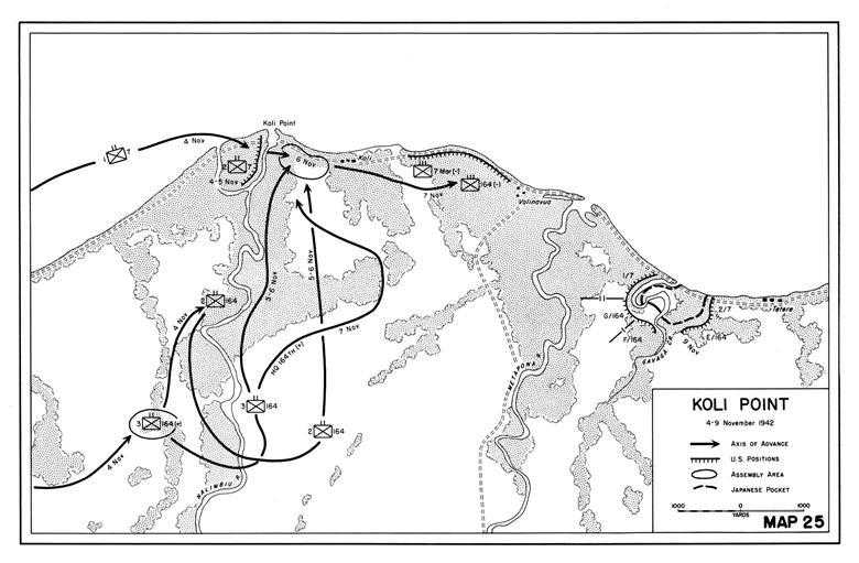
Map 25: Koli Point, 4-9 November 1942
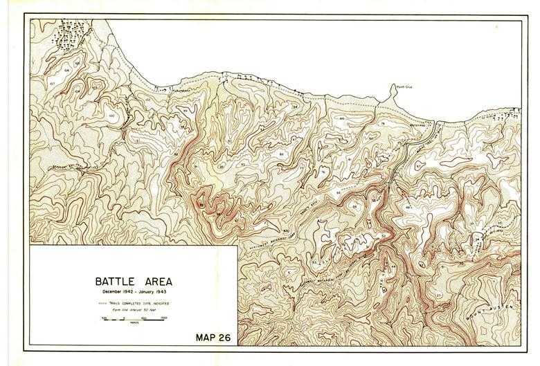
Map 26: Battle Area, December 1942-January 1943
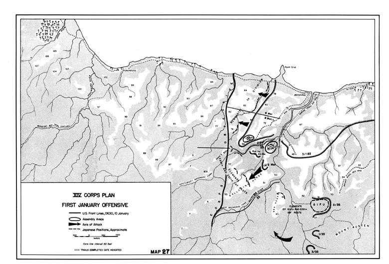
Map 27: XIV Corps Plan—First January Offensive
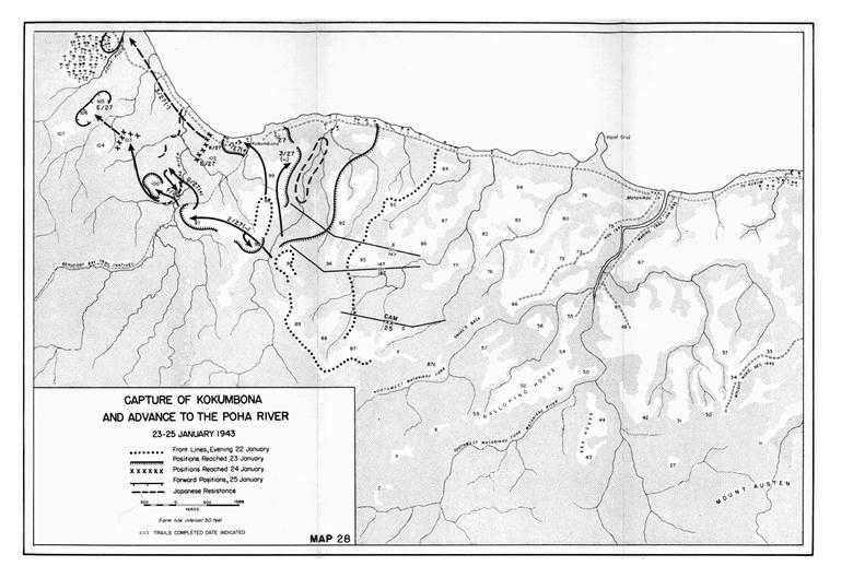
Map 28: Capture of Kokumbona and Advance to the Poha River, 23-25 January 1943